The World Cocoa Foundation (WCF), in partnership with Alliance of Bioversity International and CIAT, has unveiled the first independent assessment of the map data used by cocoa companies to track deforestation, reforestation, agroforestry and emissions.
The WCF said that assessment of the map data is ‘essential’ to ensure that companies can adhere to ‘credible and compliant environmental reporting’, as they seek to meet EU regulations and net-zero commitments.
Ensuring best practice
Cocoa companies rely on best practice remote sensing methods to meet regulatory compliance, with their high accuracy analyses depending on high quality map data, commented Michael Matarasso, WCF impact director and head of North America.
“Inaccurate data leads to inaccurate reporting, posing significant risk to companies, governments and farmers”, he said. “This work ensures that all key players in the cocoa sector – whether public or private – can make informed decisions based on the accuracy and verifiability of the data they are using, with the end goal of delivering a deforestation and greenhouse gas-free supply chain.”
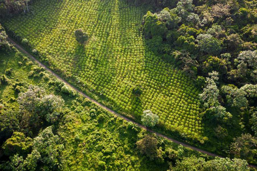
Conducted across Ghana and Côte d’Ivoire, the assessment draws on criteria that WCF and CIAT developed alongside key stakeholder groups including governments and WCF members.
It examines how well map data captures real-world land cover, assessing whether cocoa plantations are clearly distinguished from natural forests, whether maps offer sufficient geographical coverage in cocoa-growing areas, and whether their methodologies and datasets are publicly accessible and scientifically reliable.
Smallholder farmers
The assessment also incorporates smallholder farmers, who the WCF states are ‘often left out of compliance system development’, but whose knowledge is crucial for developing accurate and equitable monitoring systems.
“This assessment highlights the importance of combining several of the most accurate maps when using open access global maps,” added Louis Reymondin, senior scientist at the Alliance of Bioversity and CIAT. “If commercial maps are preferred, users should first insist that independent, third-party assessments on accuracy are conducted.” Read more here and here.